← Home · Laboratory

Grain Size Analysis (Sieve + Hydrometer) in Hartford, Connecticut

Together, we solve the challenges of tomorrow.

LEARN MORE →

Hartford sits at roughly 59 feet above sea level, right where the Connecticut River carved a wide alluvial floodplain through central Connecticut. That low elevation and the glacial history of the region mean the soil profile here rarely follows a single rule: you find pockets of fine varved clay left by Lake Hitchcock layered between silty terraces and coarse outwash from the last retreat of the Laurentide ice sheet. When a contractor calls us about a site on Albany Avenue or near the old Colt complex, the first question is usually whether the material on site drains well enough to support a foundation without costly overexcavation. A proper grain size analysis with both sieves and hydrometer, run per ASTM D2487 and D422, gives us that answer in numbers, not guesses. For deeper exploration, we often pair it with an SPT drilling program to correlate the gradation curve with measured blow counts and stratigraphy.

A single hydrometer reading taken at the right time can save a project from a season of subgrade pumping and cracked slabs.

Our approach and scope

On project sites throughout the Hartford metropolitan area, we routinely see imported fill that was never documented — material trucked in decades ago from a gravel pit in Glastonbury or a sand borrow in Windsor. The gradation of that fill can shift dramatically from one borehole to the next, which makes the hydrometer portion non-negotiable when the fraction passing the No. 200 sieve climbs above five percent. Our lab runs the full mechanical sieve stack plus a sedimentation analysis using ASTM 152H hydrometers, and we report not just the D10–D60 coefficients but the percent gravel, sand, silt, and clay by weight, plotted on a semi-log curve that the geotechnical engineer can read at a glance. That level of detail becomes even more useful when we pair the gradation data with Atterberg limits to confirm whether the fines are silty or truly plastic clay.
Grain Size Analysis (Sieve + Hydrometer) in Hartford, Connecticut
Technical reference image — Hartford Connecticut

Site-specific factors

The Connecticut River floodplain deposits that underlie much of Hartford create a specific risk: lenses of fine-grained material that look competent in a split spoon but fail to drain during spring thaw or after a heavy nor'easter. The soil profile map from the Natural Resources Conservation Service shows large swaths of Hartford County mapped as urban land over silty and clayey substrata, which means the native material below the fill cap is often a poorly graded silt or a lean clay with interbedded seams of fine sand. Without a full hydrometer analysis, a lab might classify a sample as cohesionless based on the sieve portion alone and miss the 20 percent fines that completely change the drainage and frost-susceptibility behavior. We remember a small commercial job near Parkville where the site was originally graded with silty borrow from a nearby cut; the grain size curve revealed a gap-graded material that pumped water up into the slab within two winters. The analysis let the design team switch to an open-graded drainage layer before placing the floor.

Need a geotechnical assessment?

Reply within 24h.

Email: contact@geotechnical-engineering.vip

Technical parameters

ParameterTypical value
Test standardASTM D422 / D2487
Sieve range3 in to No. 200 (75 mm to 75 µm)
Hydrometer typeASTM 152H, soil dispersion with sodium hexametaphosphate
Material classificationUSCS (Unified Soil Classification System)
Coefficients reportedD10, D30, D60, Cu, Cc
Sample massMinimum 500 g for sand; 200 g for silt/clay
Typical turnaround5–7 business days with full report

Other technical services

01

Sieve analysis (coarse and fine)

Mechanical shaking through a stack of sieves from 3 inches down to No. 200, with washed fraction when fines are present. Suitable for sands and gravels encountered in Hartford outwash deposits.

02

Hydrometer analysis (sedimentation)

ASTM 152H hydrometer test on the minus-No. 200 fraction to determine silt and clay percentages. Essential for varved clay and glacial lake sediments common in the Connecticut River Valley.

03

Combined sieve-hydrometer report

Full gradation curve plotted on a semi-log chart with D-values and USCS classification. Includes Cu and Cc coefficients for evaluating well-graded versus poorly graded materials.

Reference standards

ASTM D422 — Standard Test Method for Particle-Size Analysis of Soils, ASTM D2487 — Standard Practice for Classification of Soils for Engineering Purposes (Unified Soil Classification System), ASTM D1140 — Standard Test Methods for Determining the Amount of Material Finer than 75-µm (No. 200) Sieve, IBC Chapter 18 — Soils and Foundations, Connecticut State Building Code (CSBC) — adopts IBC with local amendments

Quick answers

What does a grain size analysis cost in Hartford?

For a standard sieve plus hydrometer analysis in our Hartford-area lab, the fee typically falls between US$100 and US$190 per sample, depending on whether we run the full hydrometer sedimentation series or just a single-point check. Turnaround time and report detail are the same regardless.

When is the hydrometer portion necessary?

Any time the material passing the No. 200 sieve exceeds five to ten percent by weight, a sieve-only report stops being reliable for classification. Hartford's varved clays and silty floodplain soils almost always cross that threshold, so the hydrometer analysis becomes the only way to assign a correct USCS group symbol and anticipate drainage behavior.

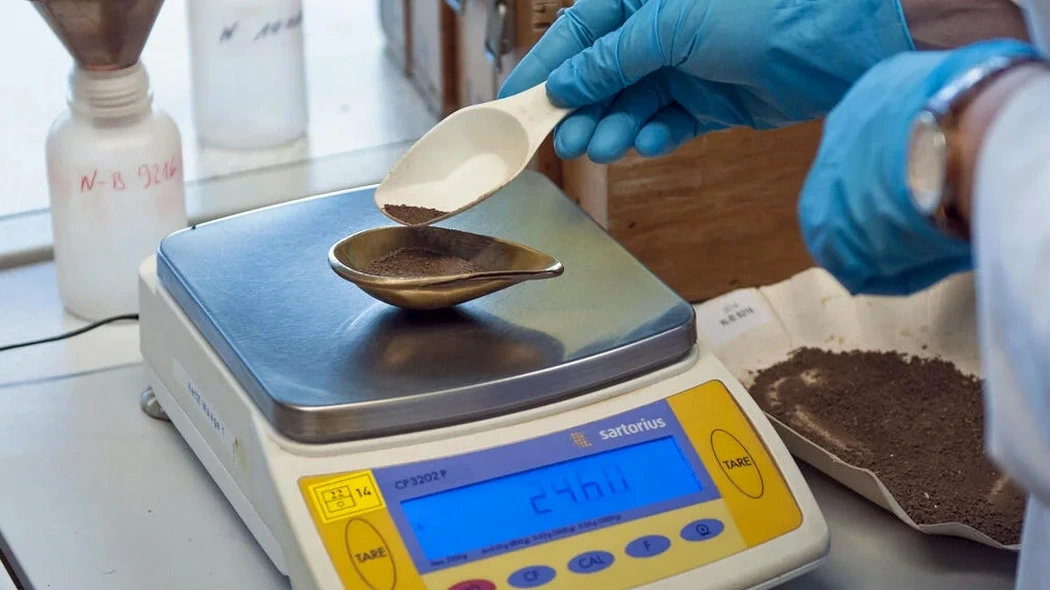
How do you sample material for grain size testing?

We obtain disturbed samples from test pits, split-spoon samplers during SPT drilling, or bag samples from stockpiles and borrow sources. The key is to collect enough material — roughly a one-gallon bag for silty soils and a larger sample if gravel is present — and to seal the bag immediately so the natural moisture content is preserved for the initial lab intake.

What does the gradation curve tell an engineer?

The semi-log plot shows the distribution of particle sizes across gravel, sand, silt, and clay fractions. From that curve we extract D10, D30, and D60 values to calculate the uniformity coefficient and coefficient of curvature, which together indicate whether the soil is well-graded or poorly graded. That classification directly feeds into compaction specifications, permeability estimates, and frost-susceptibility assessments under Connecticut's freeze-thaw cycles.

Location and service area

We serve projects in Hartford Connecticut and surrounding areas. More info.

View larger map